— Roadmap
From system to global coverage.
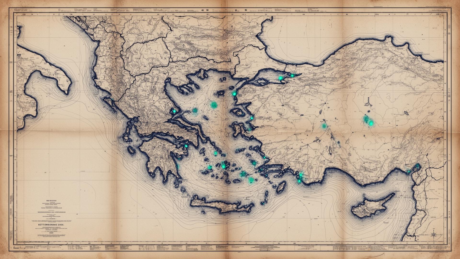
The database grows as port authority responses are received and verified. Below: the planned trajectory through 2027.
- Q2 2026In progress
System
Methodology validation. Initial port coverage across multiple jurisdictions. Establishing the request protocol and verification workflow.
- Q3 2026
Expansion
Multi-region coverage. Regulatory normalisation across legal frameworks, enabling cross-jurisdictional comparison.
- Q4 2026
Tier-One
Top global ports by traffic and environmental sensitivity. Coverage extends across major hubs worldwide.
- 2027
Global
Full coverage for partner ship managers, classification societies, and consultancies.